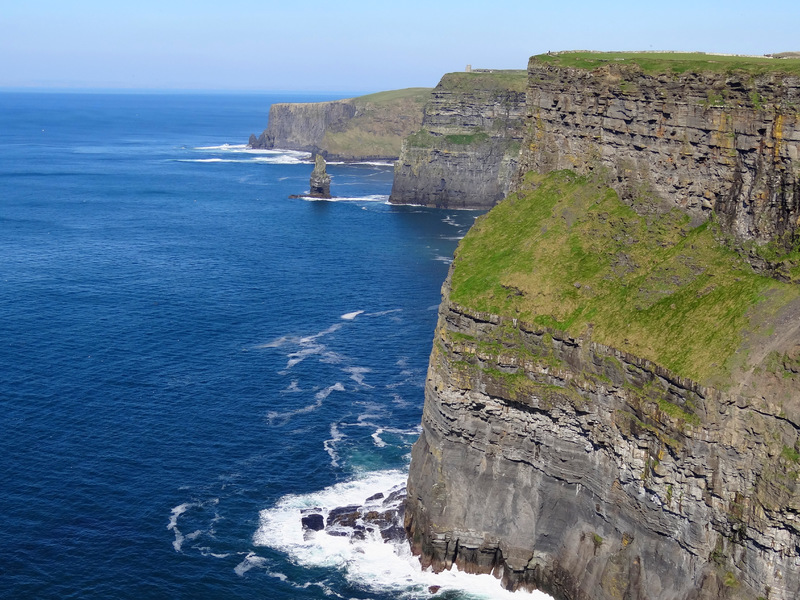
Cliffs Of Moher
Dublin Core
Title
Cliffs Of Moher
Description
The Cliffs of Moher (/ˈmoʊ(h)ər/; Irish: Aillte an Mhothair) are sea cliffs located at the southwestern edge of the Burren region in County Clare, Ireland.[2][3] They run for about 14 kilometres (9 miles). At their southern end, they rise 120 metres (390 ft) above the Atlantic Ocean at Hag's Head, and, 8 kilometres (5 miles) to the north, they reach their maximum height of 214 metres (702 ft) just north of O'Brien's Tower, a round stone tower near the midpoint of the cliffs, built in 1835 by Sir Cornelius O'Brien,[2][5] then continue at lower heights. The closest settlements are the villages of Liscannor 6 km (4 miles) to the south, and Doolin 7 km (4 miles) to the north.
Source
wildatlantic
Contributor
eulac3d
Type
Site
Identifier
16
Date Submitted
26/11/2020
Extent
cm x cm x cm
Spatial Coverage
current,52.9715238,-9.4309697;
Europeana
Europeana Data Provider
Cliffs Of Moher
Europeana Type
TEXT
Site Item Type Metadata
Wiki
https://stratus.openvirtualworlds.org/wiki/index.php/Cliffs_Of_Moher
Institutional nature
Building
Prim Media
23
Condition
1
Citation
“Cliffs Of Moher,” Stratus, accessed December 15, 2025, https://stratus.openvirtualworlds.org/omeka/items/show/24.
Embed
Copy the code below into your web page
