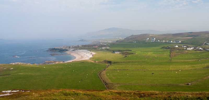
Malin Head
Dublin Core
Title
Malin Head
Description
Malin Head (Irish: Cionn Mhálanna) is located on the Inishowen Peninsula, County Donegal, Ireland and is the most northerly point of mainland Ireland. The northernmost tip is the headland called Dúnalderagh and is located at latitude 55.38ºN. Malin Head gives its name to the Malin sea area. Malin Head encompasses an area north of the Black Mountain, there is no specific point which details the location of Malin Head and the area is peppered with many local place names of Norse and Irish origin. There is a weather station on the head, which is one of 22 such stations whose reports are broadcast as part of the BBC Shipping Forecast. A tower built in 1805 is situated on Altnadarrow also known locally as the Tower hill.
Source
wildatlantic
Contributor
eulac3d
Type
Site
Identifier
8
Date Submitted
26/11/2020
Extent
cm x cm x cm
Spatial Coverage
current,55.3820027,-7.3735014;
Europeana
Europeana Data Provider
Malin Head
Europeana Type
TEXT
Site Item Type Metadata
Wiki
https://stratus.openvirtualworlds.org/wiki/index.php/Malin_Head
Institutional nature
Building
Prim Media
7
Condition
1
Citation
“Malin Head,” Stratus, accessed December 15, 2025, https://stratus.openvirtualworlds.org/omeka/items/show/8.
Embed
Copy the code below into your web page
